Wrecks you haven't dived yet
This week we take a deeper dive into shipwrecks - and avoid the crowds at Omeo and North Mole. Vergulde Draeck (also known as the Gilt Dragon shipwreck) is hundreds of years old, but rarely dived due to its remoteness. The Camilla shipwreck is a little bit closer to home, but isn't yet a popular dive site.
Vergulde Draeck (Gilt Dragon)
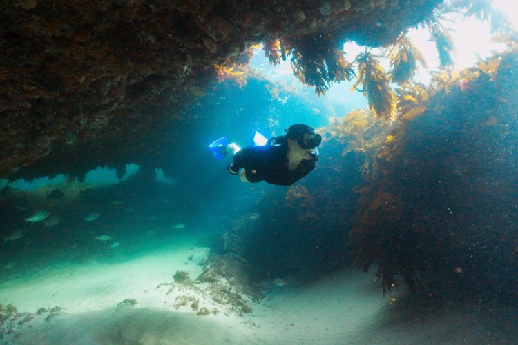
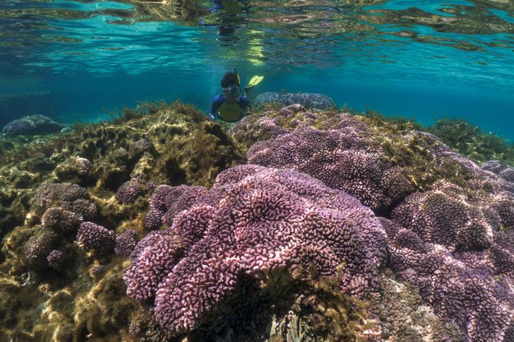
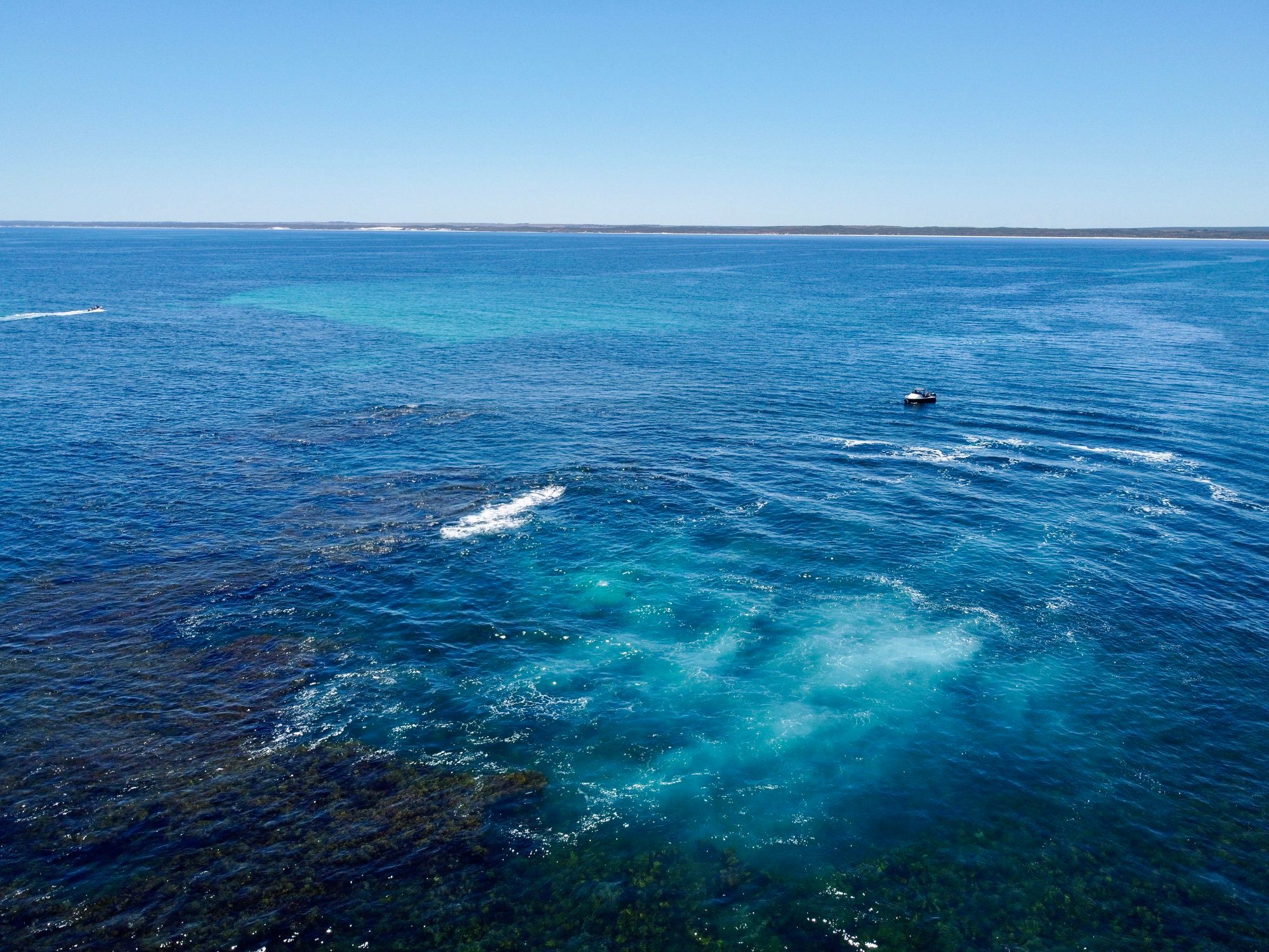
Ledge Point, the WA Midwest. Depth 8m. Dive or snorkel.
Very low swell (less than a metre). Easterly wind.
Vergulde Draeck wrecked on a reef in 1656. It was sailing from the Netherlands to Batavia (now Jakarta), following the Brouwer Route along the 'Roaring Forties' - strong westerley winds just below 40°S latitude. Ships were meant to follow these winds across the Indian Ocean from the Cape of Good Hope in South Africa, before turning north towards Indonesia. Sometimes, they went a little bit too far, and hit Australia.
When the ship sunk, most on board drowned. Some, however, made it to shore, and a few even sailed up to Batavia (Jakarta) for help. Rescuers returned to search for the remaining survivors, but they were never found. Their fate remains a mystery.
Vergulde Draeck is one of four known VOC ships wrecked on the Western Australian coast. The VOC, or Dutch East India Company, was arguably the first multinational corporation. It built enormous wealth and military power, mainly by trading spices from the islands of Indonesia.
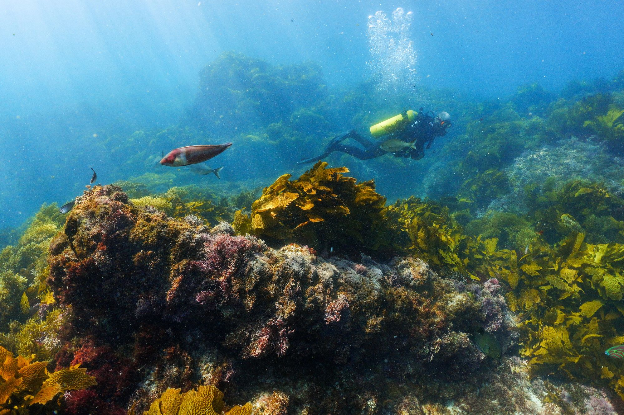
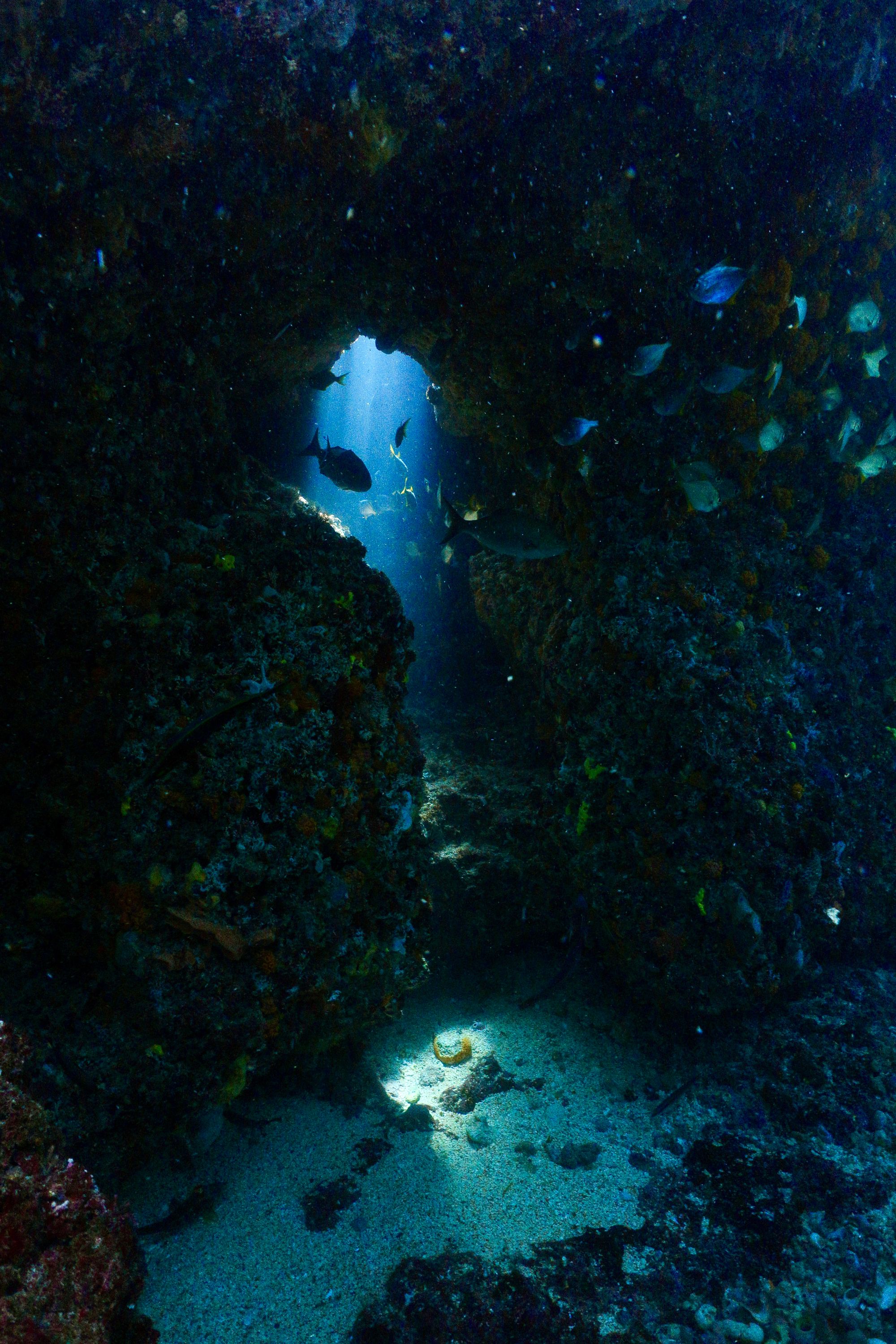
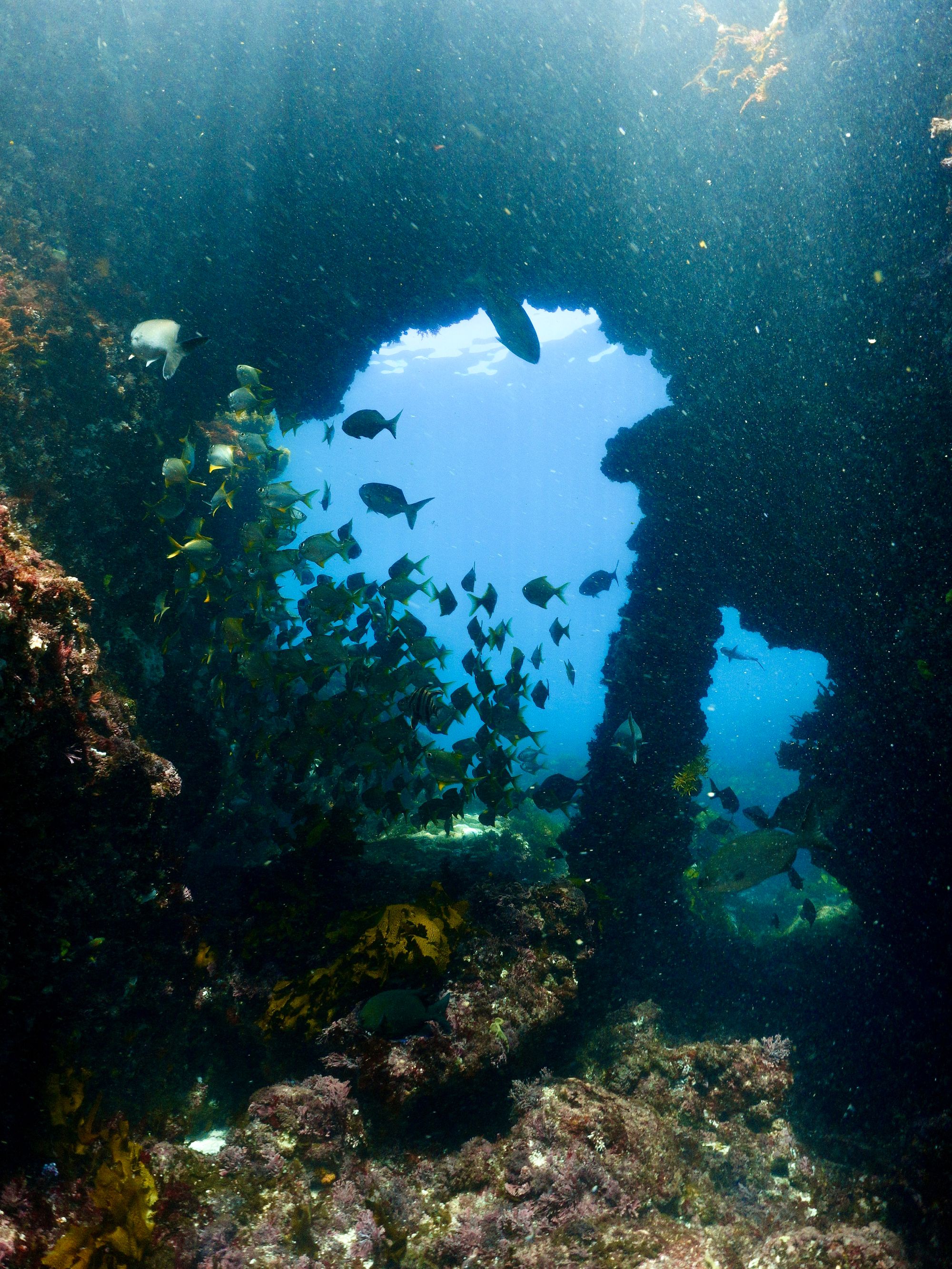
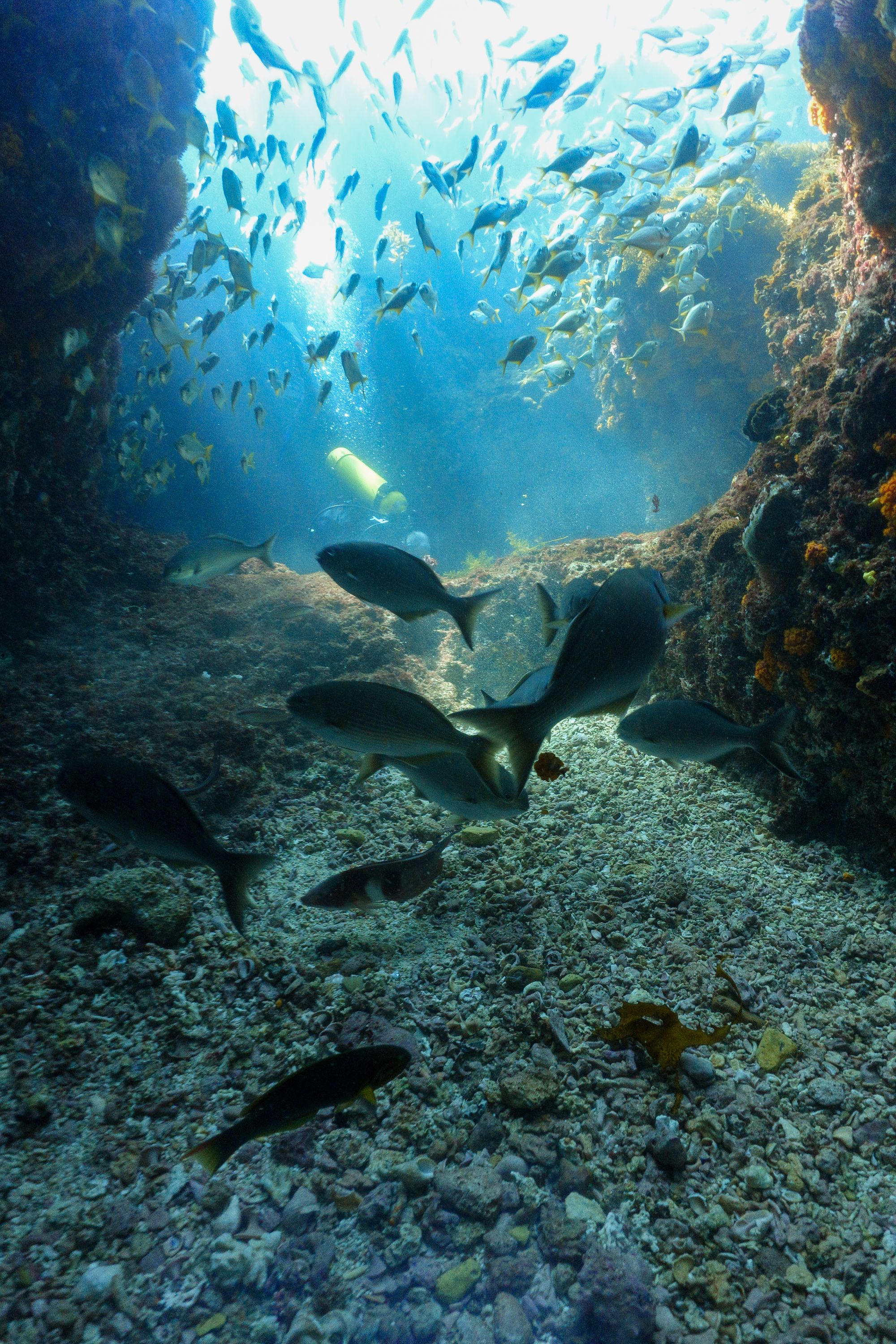
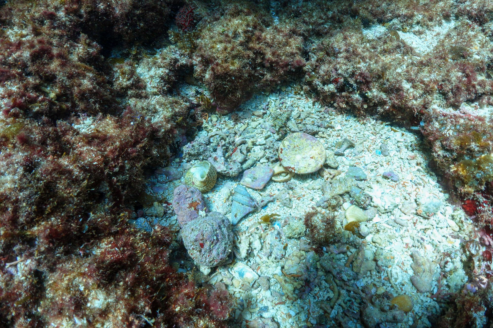
The wreck site itself is shallow and exposed to the harsh Indian Ocean swells, but on a calm day it makes for a beautiful dive. Cannons on the reef are the most distinct features. One of them is cemented upright at the entrance to a limestone cave system, which contains smaller debris from the wreckage.
Protecting the wreck
Artefacts are still visible on the wreck site today, and are still turning up on the nearby coastline. It is important to leave these artefacts alone and in-place, because they are valuable clues from the past that are easily destroyed if removed.
When the wreck was found in 1963, it was quickly looted by treasure hunters. In response, historic shipwrecks were legally protected by the WA Government, and they became property of the public, managed by the Museum.
In 1972, archaeologists from the newly-formed WA Museum Department of Maritime Archaeology excavated the wreck, in the first major underwater archaeological excavation in Australia. Take a visit to the WA Shipwrecks Museum in Fremantle, to see what can be learned from the shipwreck artefacts, about the people on board and the emerging global economy.
Logistics for accessing the wreck site
The site can be accessed by boat from Two Rocks marina, or even by launching a tinny from Ledge Point. The museum database has GPS coordinates. It's a couple of hours north of Perth, but a manageable day trip.
Wait for exceptionally low swell. Waves break dangerously onto the reef, and will easily wreck your boat. Don't make the same mistake they did!

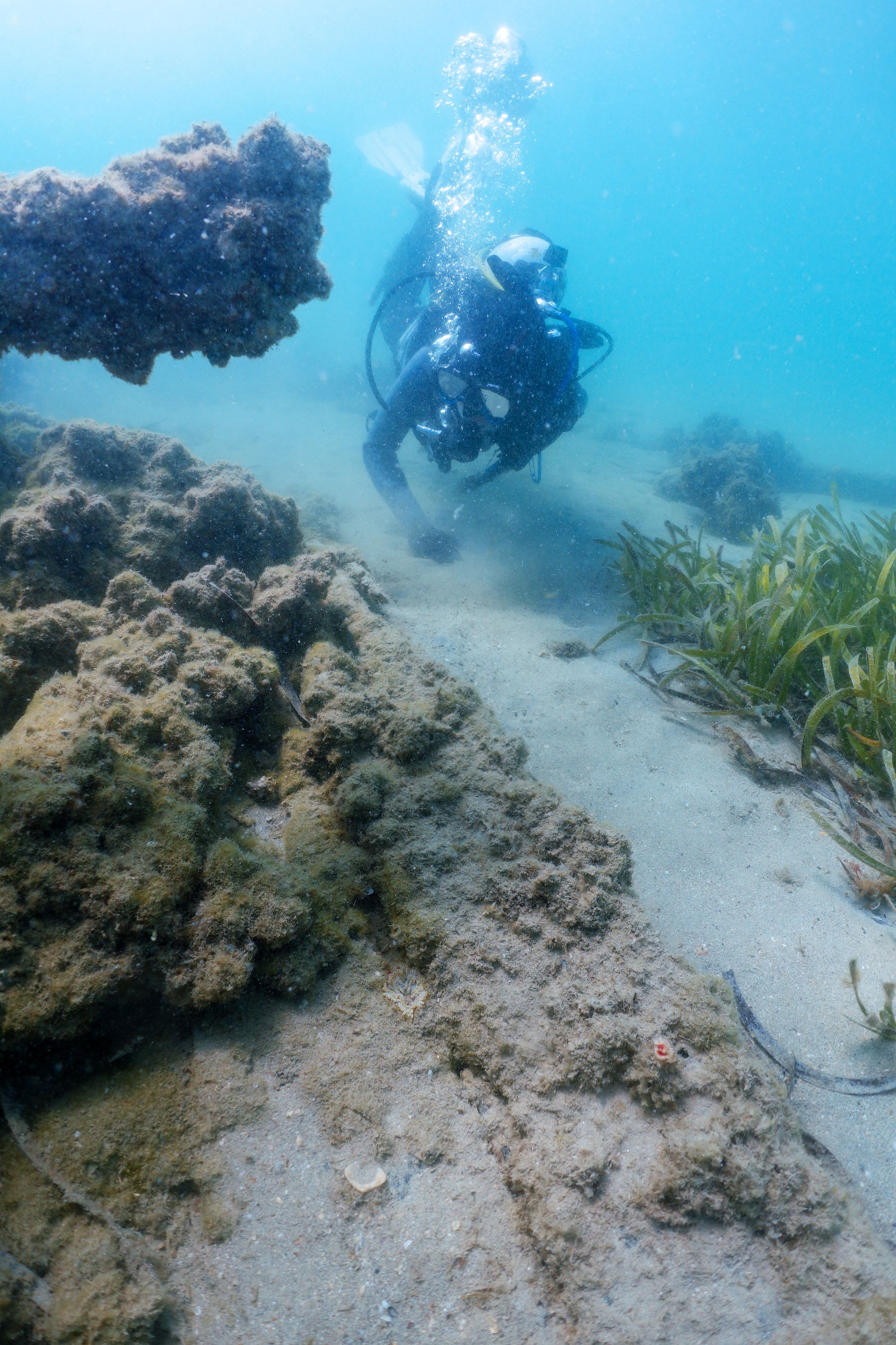
Camilla
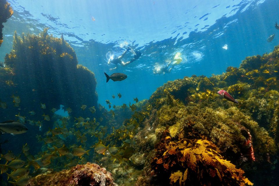
Kwinana, near Alcoa Jetty. Depth 2-3 m. Snorkel or Dive.
Easterly wind.
Camilla was a 2-masted brigantine, built in 1834 Scotland. It was used in Fremantle Harbour as a lighter, which is a type of vessel that carries cargo or passengers to moored ships. It was abandoned and sunk in 1903.
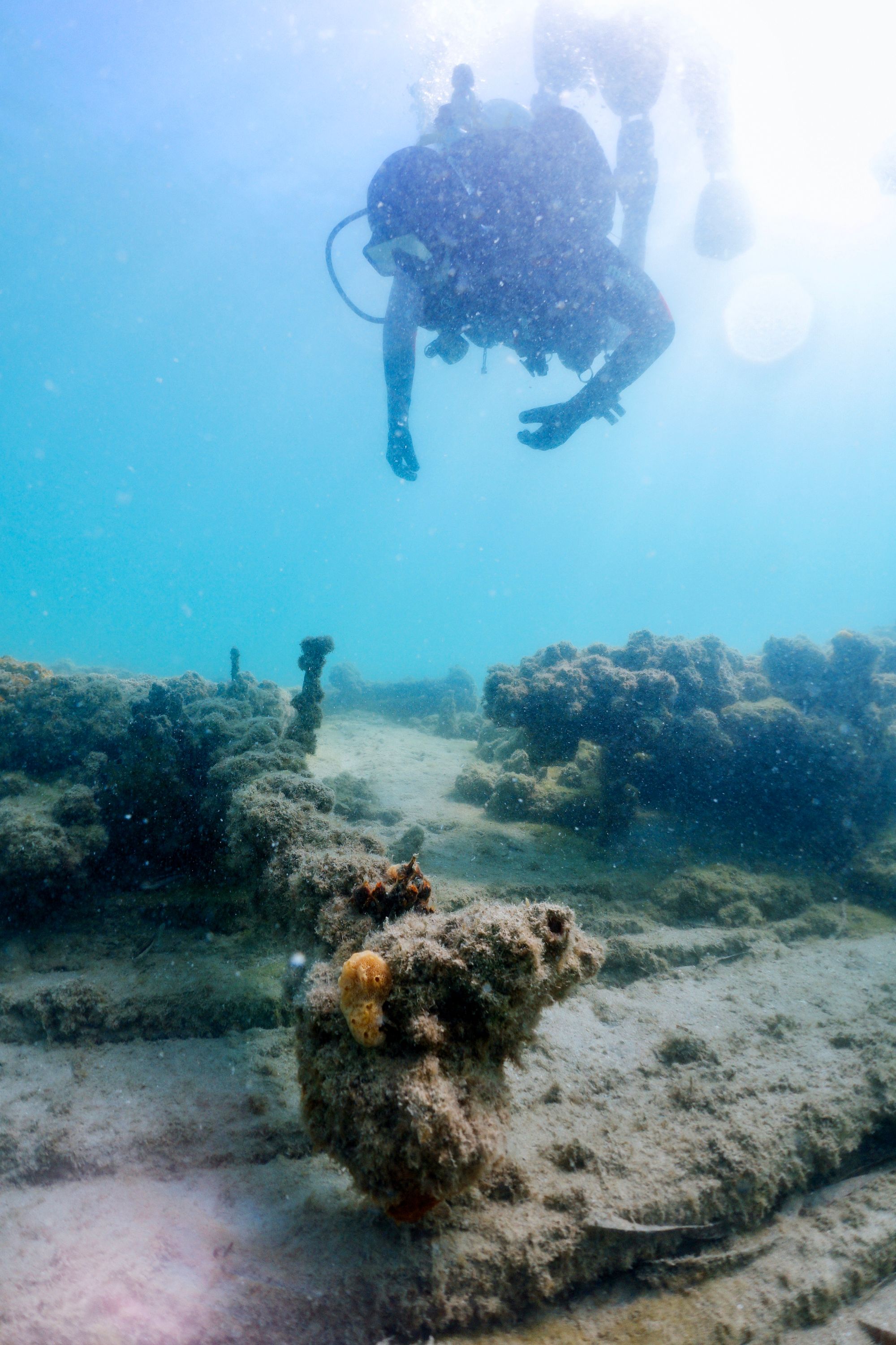
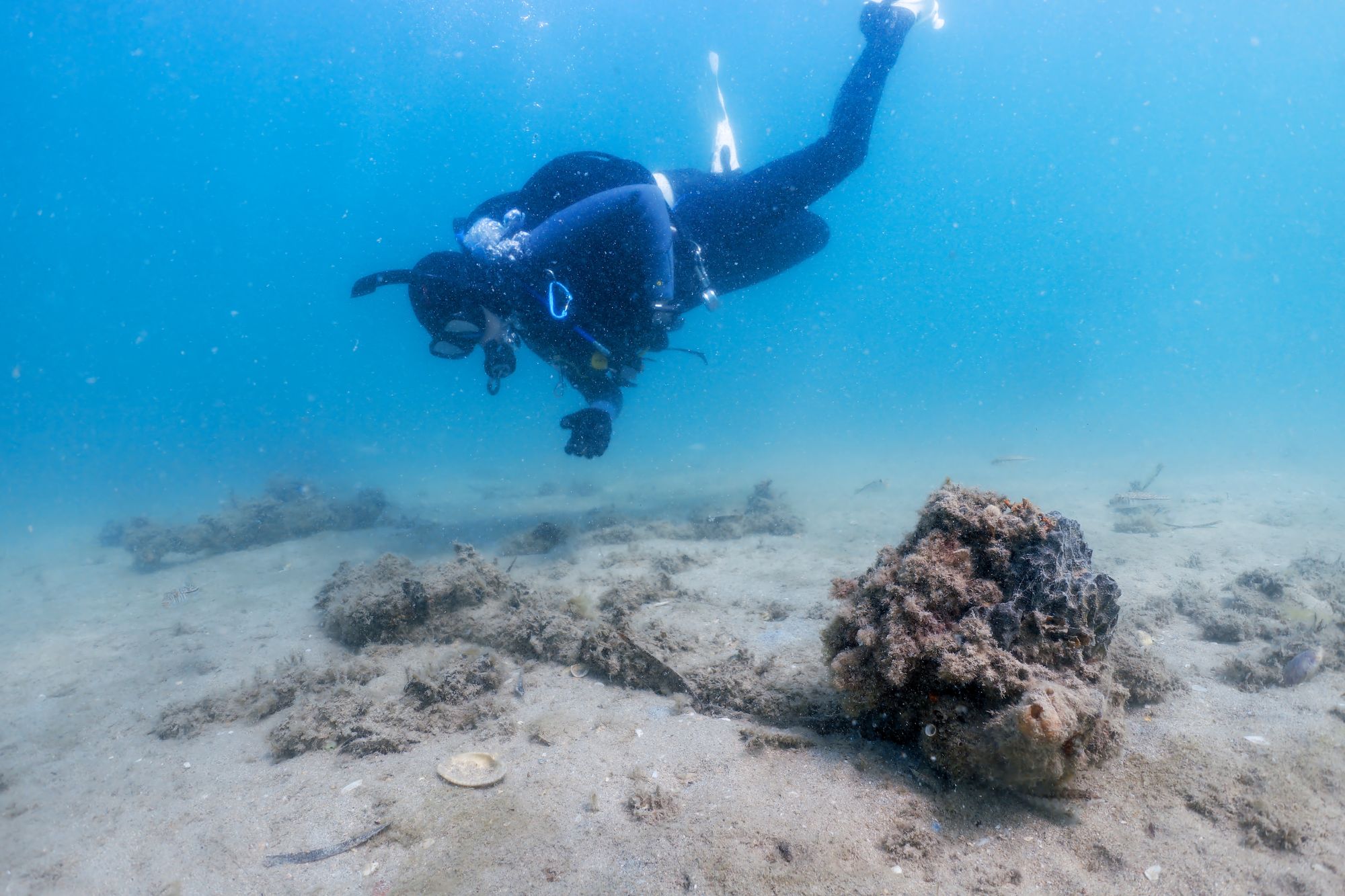
The wreck site is just 80m off Challenger Beach in Kwinana, and can be dived and snorkelled in most conditions. Dave Jackson has great directions on his site, but in short I normally just check for the wreck with Google Maps on my phone and line it up with the shore. It's approximately ~25m long, and laying east-west. If you have a drone, you can double check its location and get some nice shots while you're at it.
Identifying shipwrecks
Now I want you to forgive me for confidently calling this wreck Camilla, because the most recent report concluded it was probably, but not definitely, Camilla (a.k.a Balls Lighter). They chose to call it "the Alcoa Jetty Wreck".
Maritime archaeologists inspect shipwrecks and try to match physical features with the historical record, using documents like insurance registers. They usually reason with things like hull construction materials, length, tonnage, and structural features that may indicate its intended use.
Last year I captured a 3D model of the site by combining hundreds of images, in a process called photogrammetry. This is now standard in maritime archaeology, because it gives researchers a detailed site plan to inspect for clues.
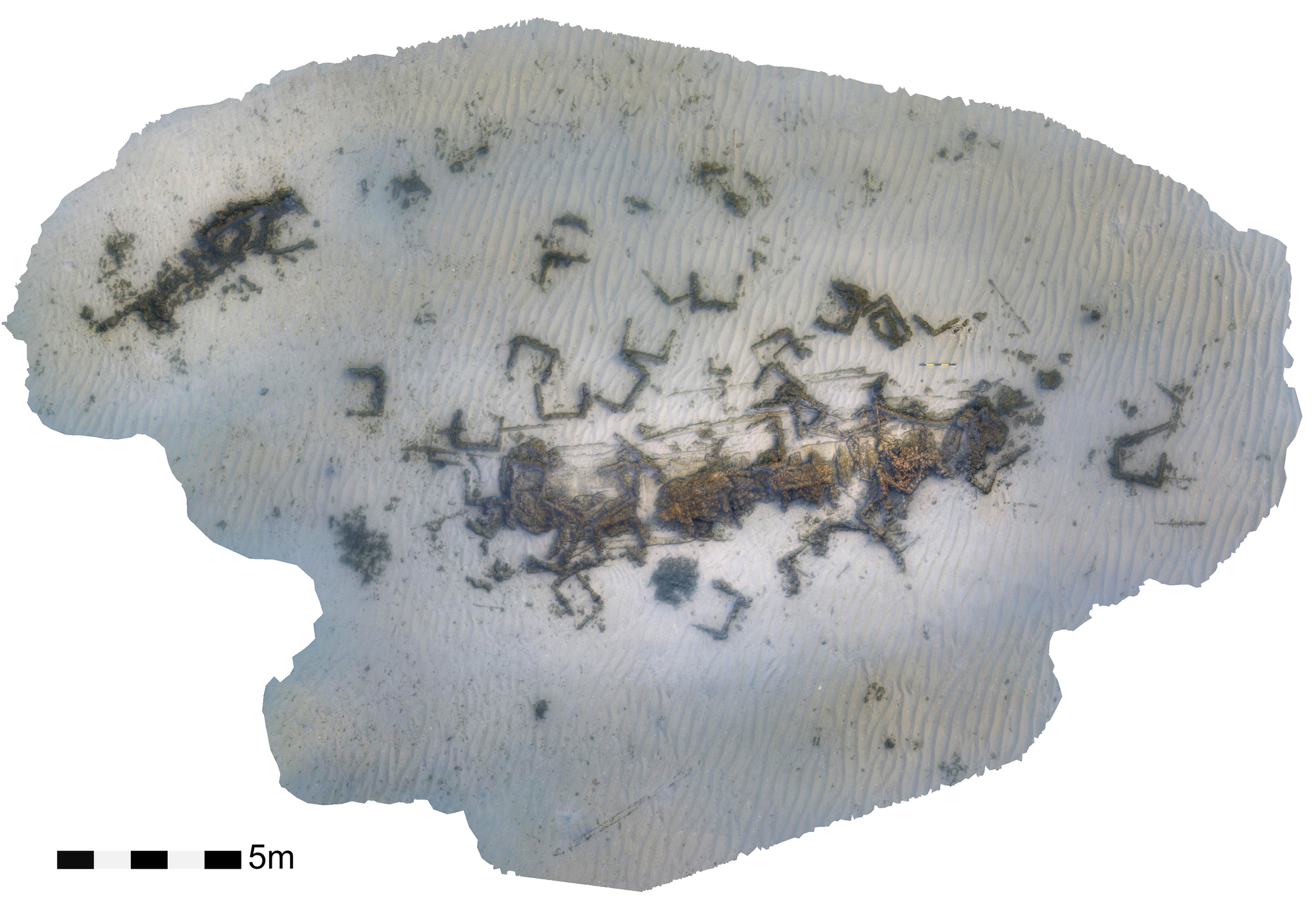
In the site plan you can see the exposed timbers and iron knees. The iron knees reinforced the timber hull of the vessel, and would have supported a deck. There are 26 knees in total, which means the vessel was probably surveyed to more than 200 tonnes. It also shows the approximate dimensions of the vessel, which almost, but doesn't exactly, match Camilla (which was 85.9 x 23.6 x 14.5 ft). When you dive, look out for the copper fastenings, which are further clues to its construction.
Industrial histories and futures
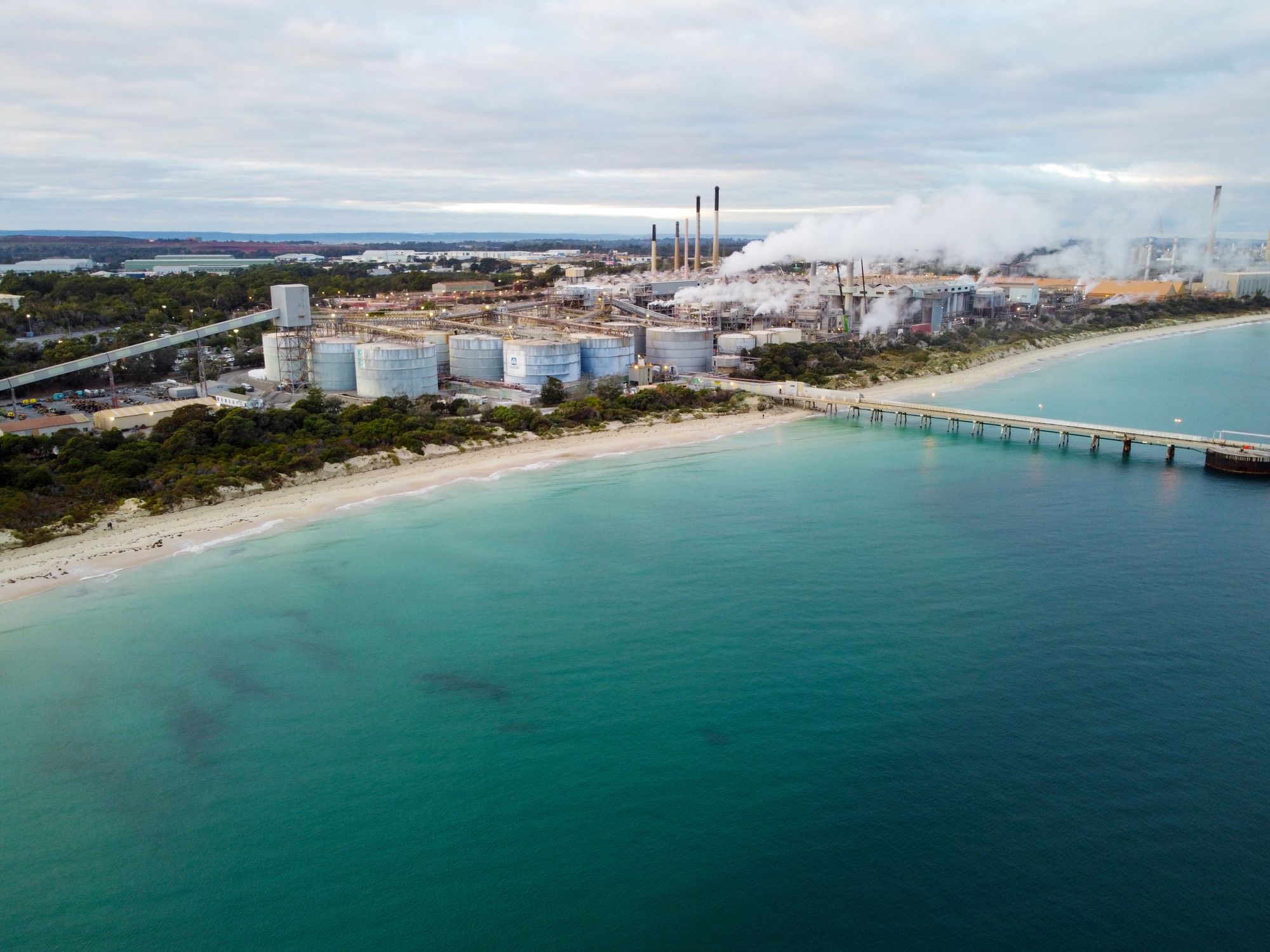
This sturdy working vessel speaks to the industrial history of Fremantle Port. The wreck now lays in the shadow of the Alcoa Kwinana Alumina Refinery, a huge facility that processes bauxite ore into alumina, which is then shipped elsewhere to manufacture aluminium.
As industries change (and sea levels rise) - I can't help wondering what this landscape will look like 100 or 200 years into the future.
Every Thursday this summer I will be writing about one dive and one snorkel site around Perth.
Next week's theme is: 'Day at the beach'.