Wadjemup Rottnest Limestone
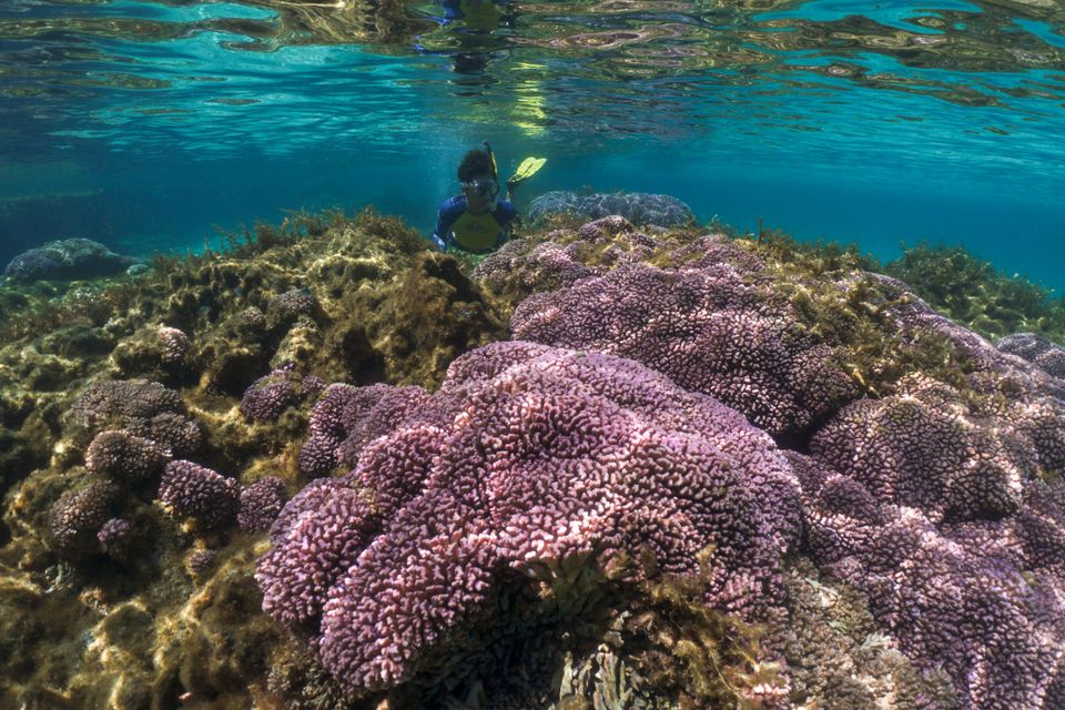
The clear waters of Wadjemup Rottnest Island are full of limestone reef. This limestone was formed on land, when the sea level was much lower. Today it provides an important habitat for sea life, and gorgeous caves for divers to explore.
Little Salmon bay is a popular snorkel spot, with an informative underwater trail. Roe Reef has some of the best diving in the area, with an enormous cave at its centre.
Little Salmon Bay
Rottnest Island south. Depth 1-5m. Snorkel.
Most conditions, northerly wind best.
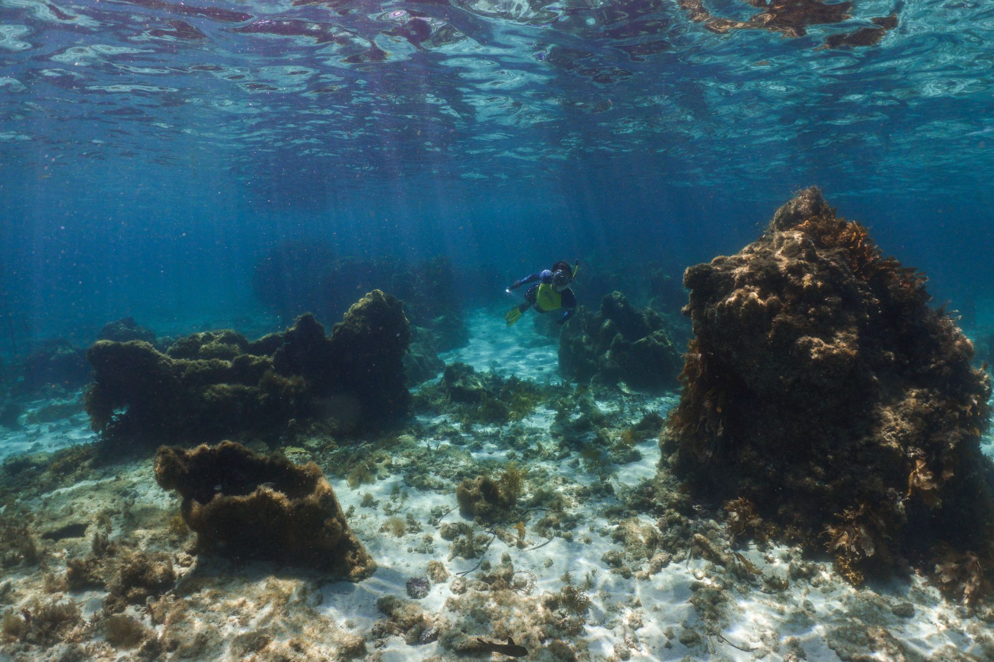
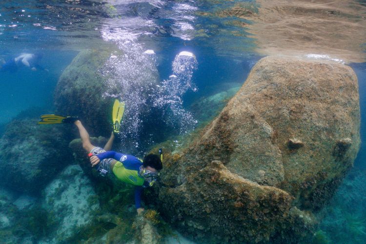
Little Salmon Bay is on the southern side of Wadjemup Rottnest Island. The bay is sheltered by a limestone reef, making it a popular snorkelling spot. It's a 25 minute bike ride from the settlement.
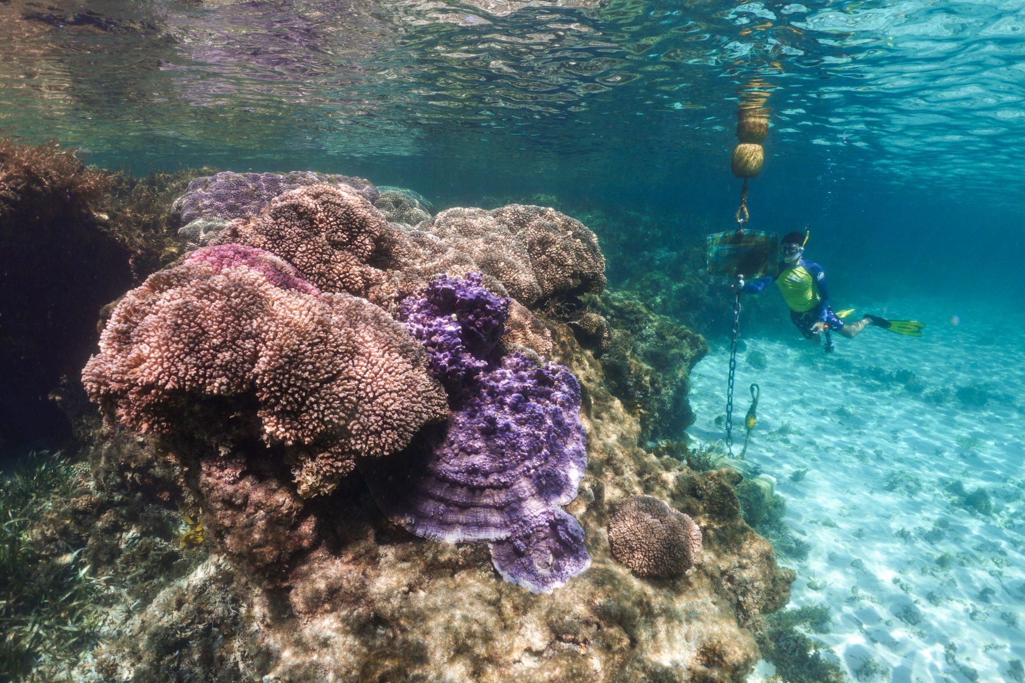
The waters of Wadjemup are typically much clearer than Perth coastal waters, because it's further from the murky Swan River sediment. The benefit of an island is that one side is always sheltered from the wind - at this south-facing bay a northerly wind is ideal. Make sure you get there early - by mid-morning there can be huge crowds.
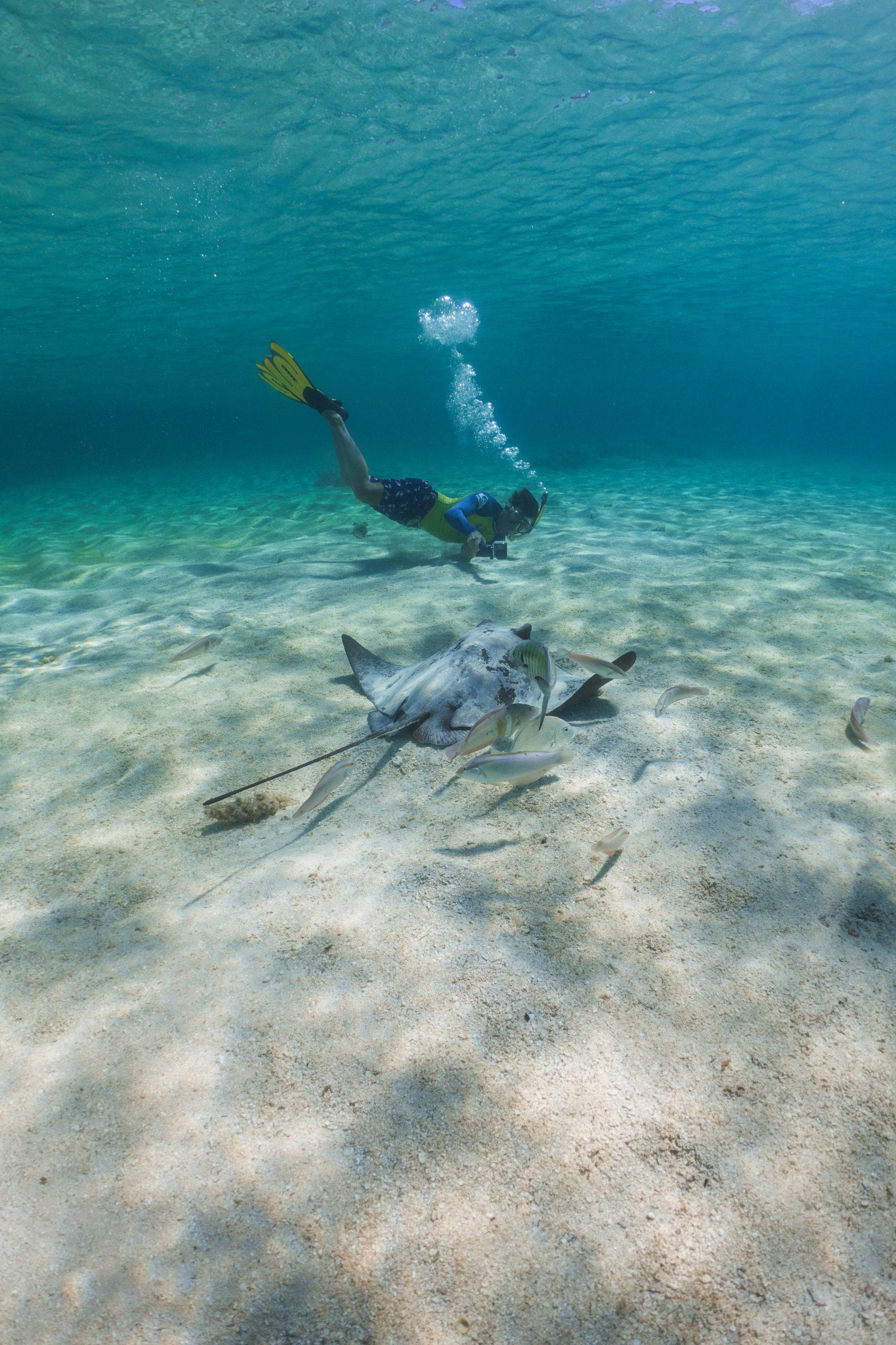
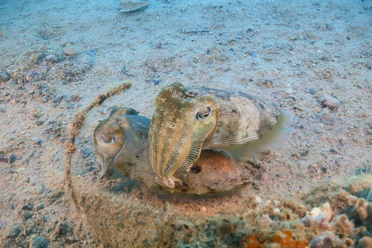
The warm Leeuwin Current supports a surprisingly tropical ecosystem for this latitude. Big schools of fish are always swimming through the pink Pocillopora corals. Eagle rays can be seen on the sand patches, and in the seagrass meadows to the east.
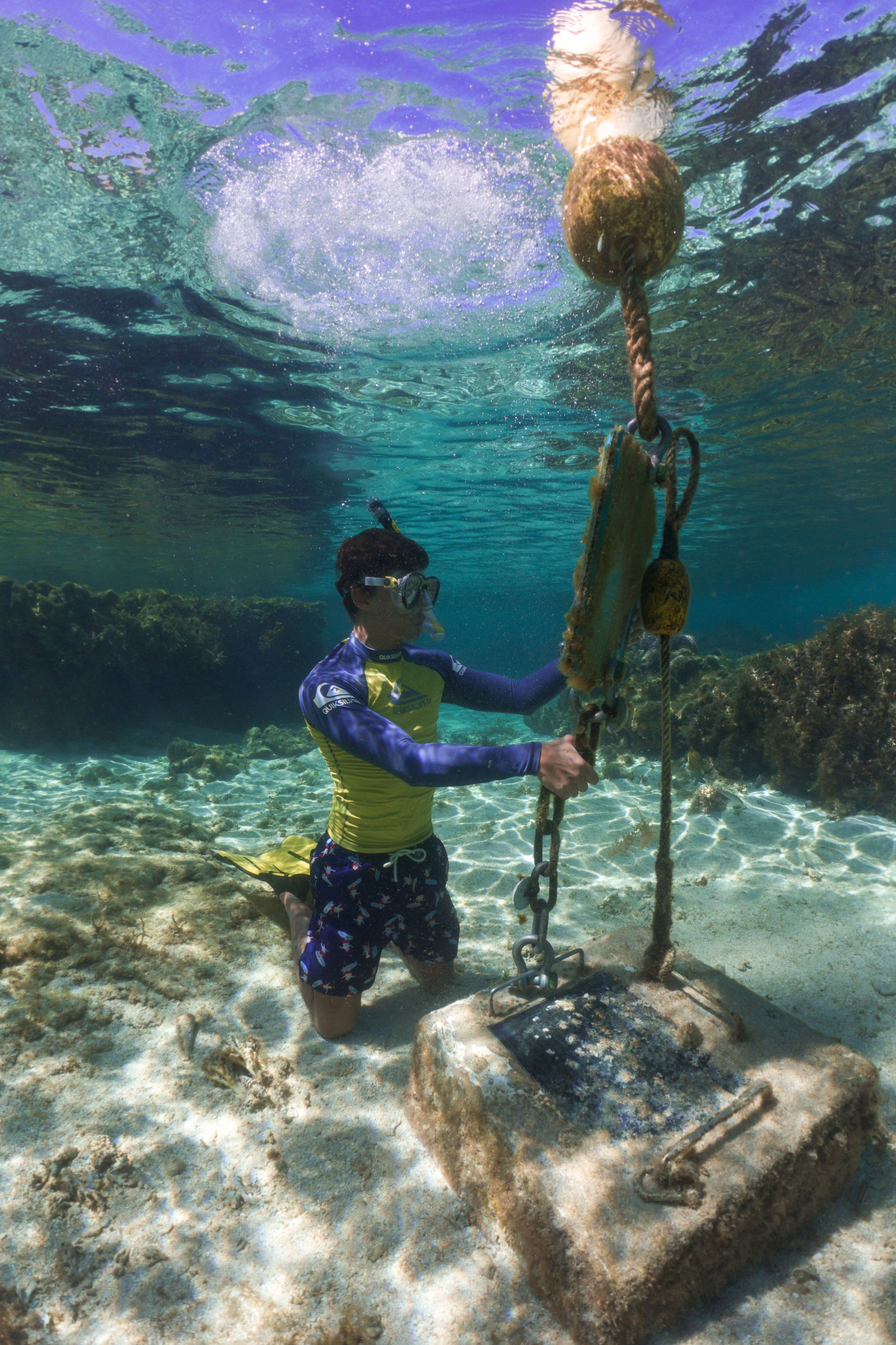
The best way to snorkel the bay is to follow the snorkel trail, which was recently upgraded by the Rottnest Island Authority. These plinths contain information about the bay and the sea life around you. The ten buoys are spaced pretty evenly apart, so you can follow them around to see all the different habitats.
The area is an excellent example of the Tamala limestone formation, which runs all along the Western Australian coast. Limestone pinnacles, now underwater, are evidence of changing ancient sea levels - they were formed by large tree roots when the sea level was much lower.
If you're interested in the geological history of the island, the Geological Survey of Western Australia has an interactive map on their website. Here you can also download the 'Guidebook to the geology of Rottnest Island' by Phillip Playford, for an even more detailed look.
Roe Reef
Rottnest Island north. Depth 5-18m. Dive.
Reasonable swell, southerly wind.
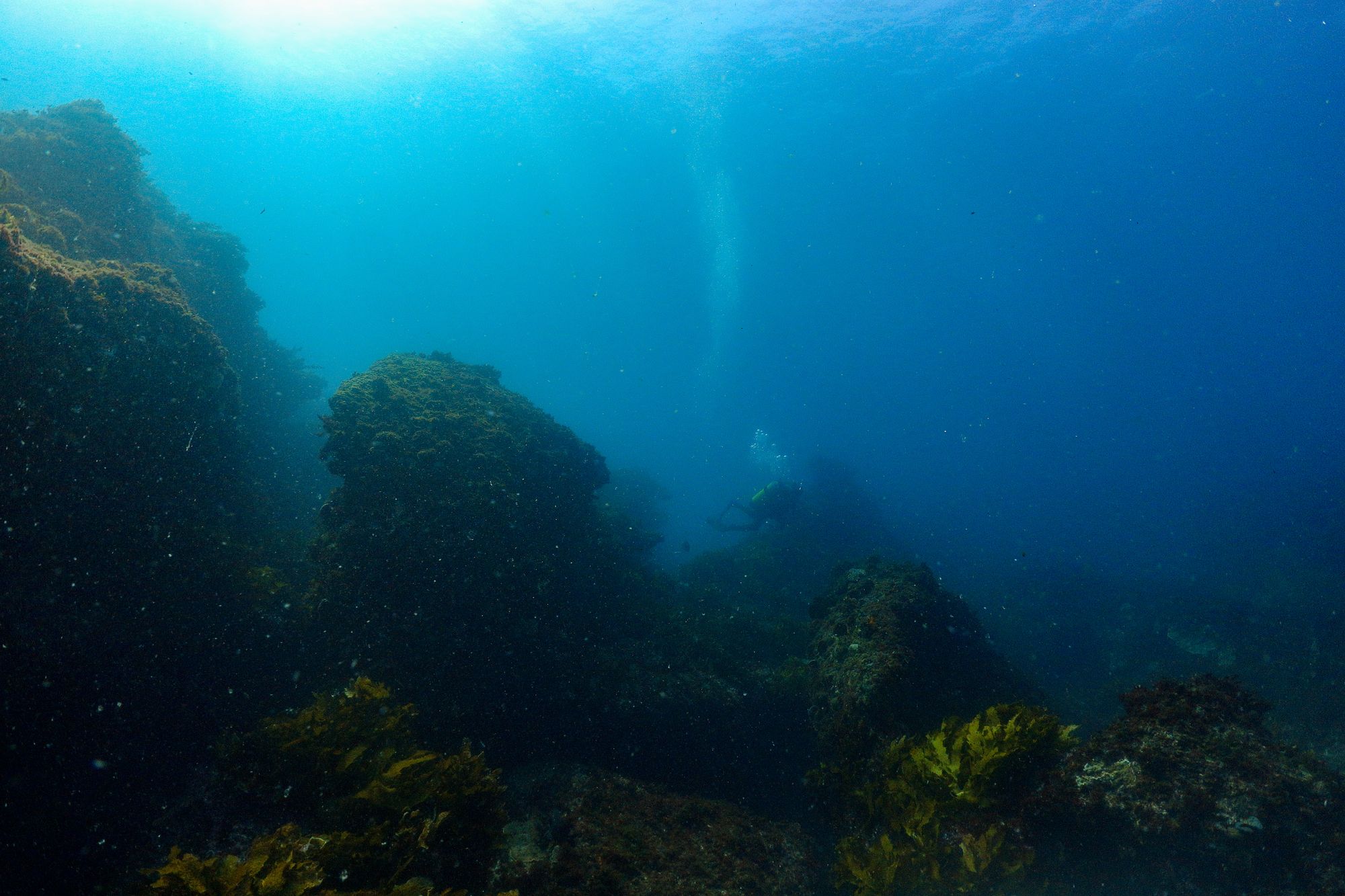
Roe Reef was my first-ever boat dive, on my Open Water Scuba course in 2015. To be honest, I didn't see very much. Since then I've revisited it many times, and it's become one of my favourite sites.
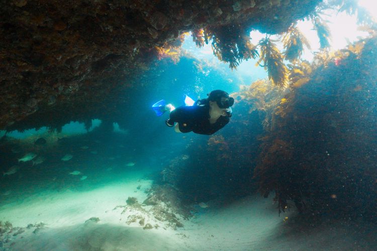
The main cave is the most spectacular feature. In the south-facing ridgeline there are many small caves and swim throughs, but this one is huge. You enter an arch from the sand patch, at about 12m depth, and it opens up into an enormous space.
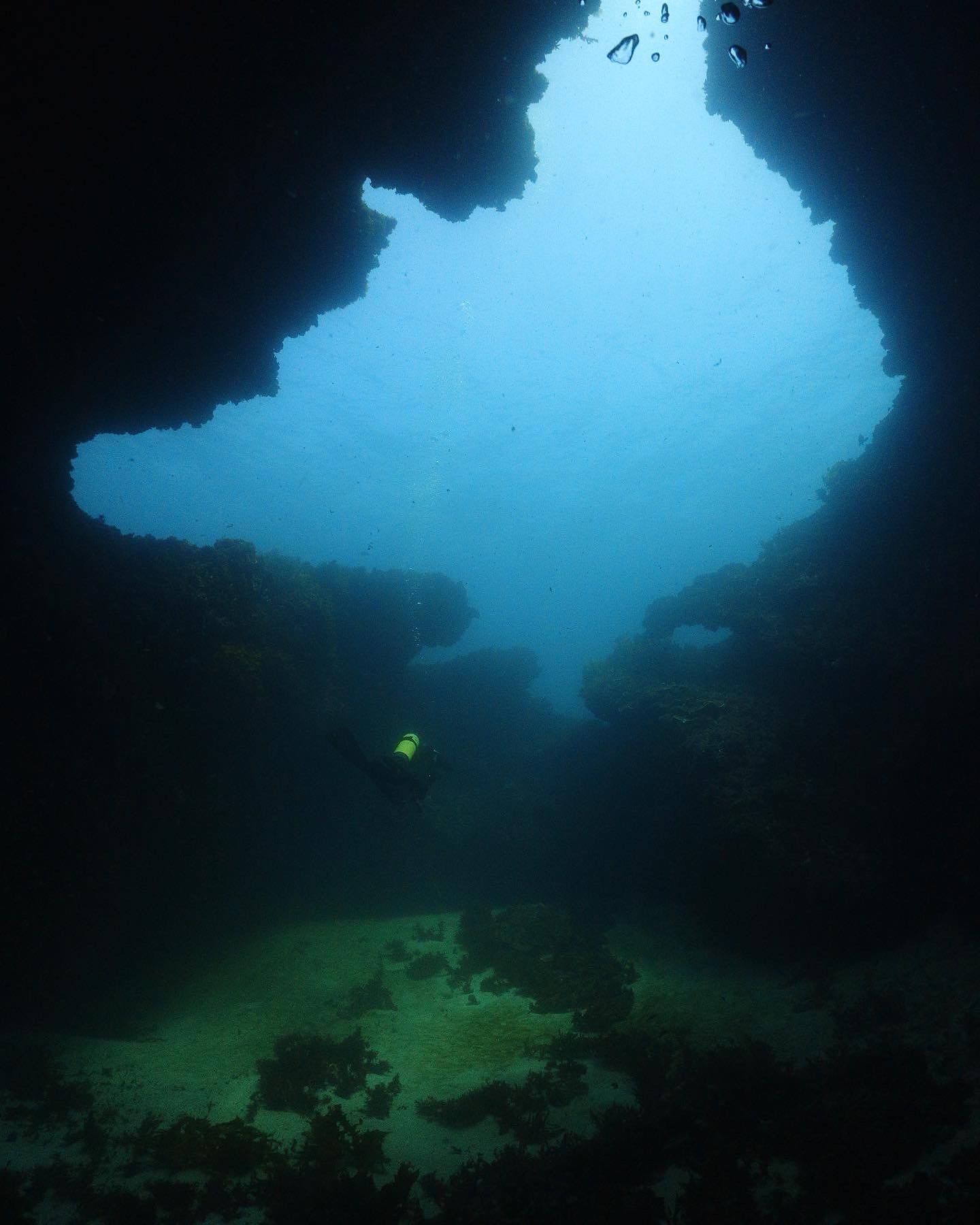
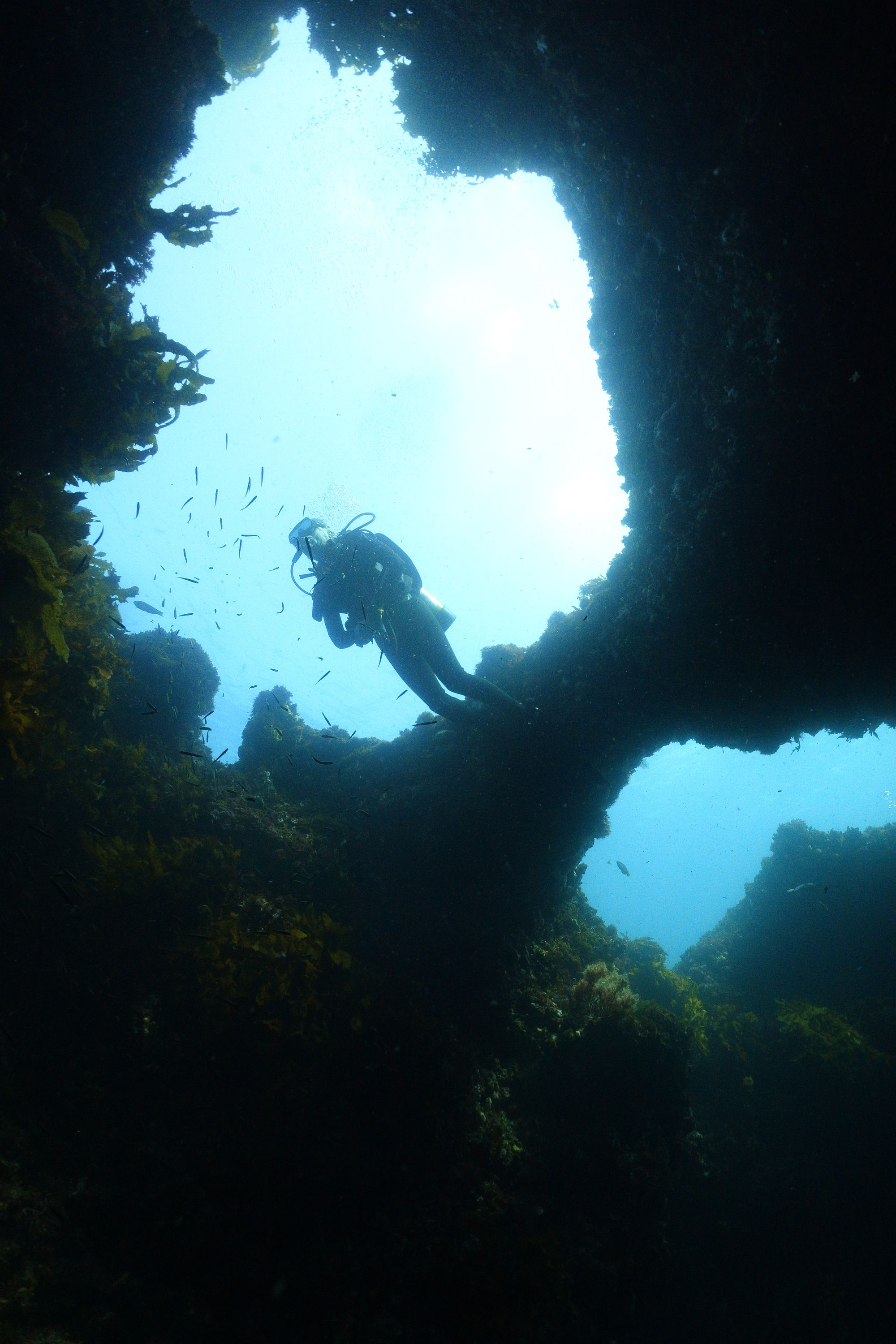
These caves were all formed when the area was dry land - some time before the seas rose to their current position 7 thousand years ago. Roe Reef is what remains of an ancient parabolic sand dune. In the Department of Transport Lidar, you can see the cemented sand dunes branching off the main rise. These ancient dunes surround the island, leaving many caves for divers to explore.
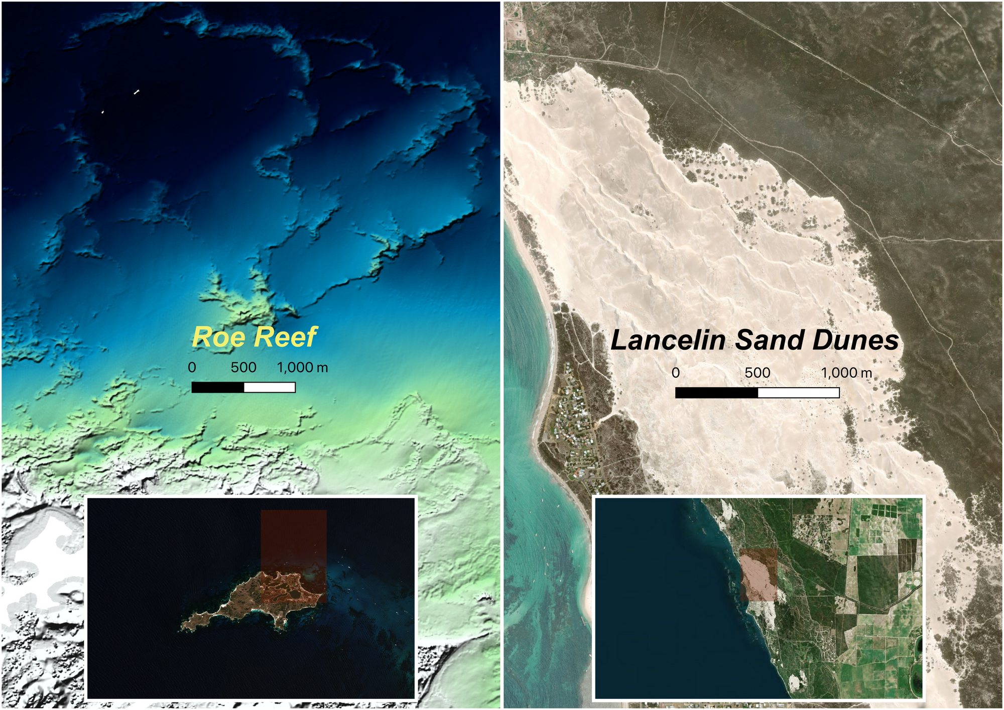
Before the sea level rose, the ancestors of Noongar people lived in this place. They would have used the caves for shelter. Wadjemup was only half-way out to the ice-age shoreline, and the island would have been a prominent hill on the otherwise relatively flat coastal plain. I like to imagine people standing under the arch, and wonder what the space meant at the time. Noongar people remain connected to these places, and have stories of when you could walk across the landscape.
Every Thursday this summer I will be writing about one dive and one snorkel site around Perth.
Next week's theme is: 'Day at the beach'.
Subscribe to the newsletter so you don't miss it.
Comments ()